


The study examines the impact of topography, drainage, and infrastructure on land use and recommends sustainable development strategies.
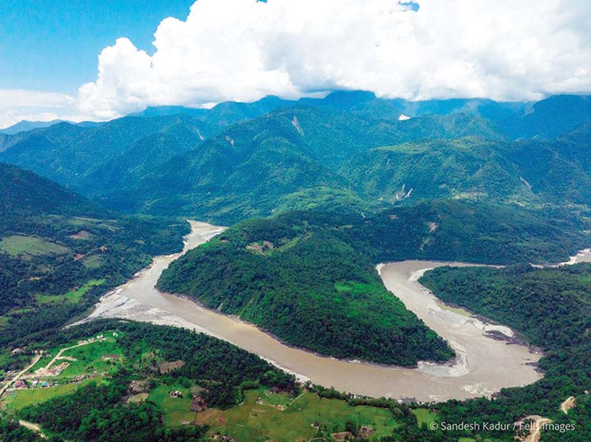
The Siang River Valley, a tapestry of rugged mountains and fertile valleys stretching from Sangam to Pongging in Arunachal Pradesh, presents a unique challenge: how to balance human needs with the delicate balance of the environment. The area presents a complex topographical and environmental landscape that directly influences settlement patterns and agricultural activities. Given the mountainous terrain, the need for strategic land utilisation is critical for sustainable development.
This study by Dutta et al. addresses this challenge through a Land Suitability Analysis (LSA), examining how land morphology influences settlement and agricultural practices. The study assesses the viability of land for settlements and orchard cultivation by evaluating key determinants such as topography, drainage morphometry, and infrastructural accessibility.
Geographical and environmental context
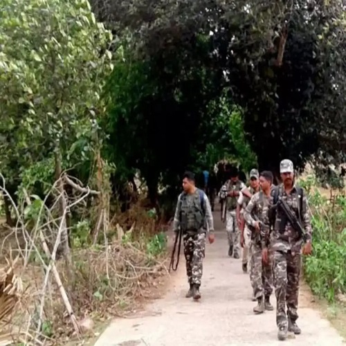
The Siang basin is a well-defined section of the Brahmaputra basin characterised by humid climatic conditions and elevations ranging from 133 to 5248 meters above sea level. The region experiences frequent natural disasters, including soil erosion, landslides, and land degradation, which significantly impact socio-economic activities. Agriculture, including shifting and terrace cultivation, forms the backbone of local livelihoods. However, inadequate communication and transportation infrastructure pose challenges for the movement of people and goods.
Land Suitability Analysis: Methodology
The study incorporates remote sensing and GIS techniques to prioritize basin areas and conduct morphometric analyses. Spatial analysis tools such as QGIS and ArcGIS were employed to develop thematic maps based on drainage morphometry, slope analysis, and land use classification.
Data collection and processing
Geomorphological characteristics of the study area

Land suitability for settlement
Influence of elevation and slope

Settlement patterns demonstrate a preference for lower elevations (84–424.5 m) due to their accessibility and gentle topography. Higher elevations are less populated due to harsh climatic conditions and infrastructural challenges. Slope steepness significantly impacts settlement viability. The study found that settlements predominantly exist on slopes ranging from 0°–12°, with minimal habitation on steeper inclines beyond 24°.
Proximity to roads and rivers
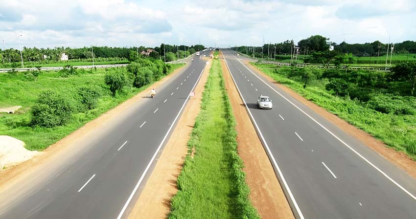
Infrastructure accessibility is a crucial factor in settlement distribution. Major settlements are concentrated near National Highway 13 and along river valleys, providing essential connectivity. However, remote villages face significant transportation barriers, limiting their economic activities.
Using proximity analysis, land suitability for settlements was classified into five categories:
Highly Suitable: 12.17 sq. km, characterized by gentle slopes and proximity to roads.
Suitable: 18.68 sq. km, featuring moderate accessibility.
Moderately Suitable: 12.37 sq. km, consisting of uneven terrain.
Low Suitability: 8.71 sq. km, constrained by steep slopes.
Unsuitable: 3.83 sq. km, marked by rugged mountainous terrain.
Land suitability for orchard cultivation
Impact of elevation and slope: Lower elevations (239.16 sq. km) are most suitable for orchards due to favourable climatic and soil conditions. As elevation increases, orchard viability diminishes due to moisture stress and soil constraints. Slope gradients also influence orchard distribution. The majority of orchards are located on slopes of 0°–12°, while some extend to slopes of 13°–24°. Steeper slopes (>36°) are generally unsuitable for orchard farming due to increased erosion risks.
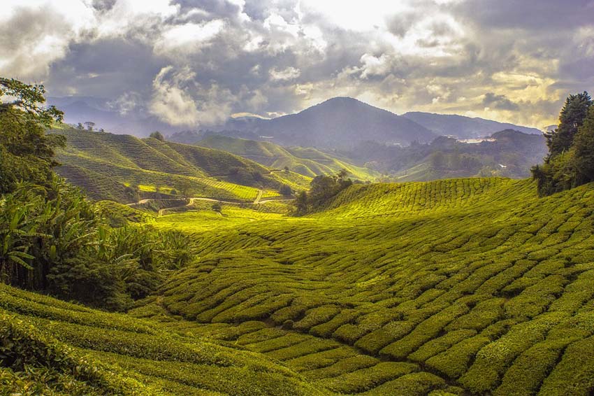
Influence of road and river proximity: Unlike settlements, orchards are more influenced by road networks than rivers. Roads facilitate market access and transportation of produce, making them crucial for orchard placement. The study found that orchards thrive in areas with reliable road connectivity, while river proximity plays a lesser role.
Crop diversity and agricultural practices: Orchard farming in the Siang valley includes a variety of crops such as citrus fruits, bananas, pineapples, and temperate fruits like apples and pears. Sustainable farming practices such as terrace cultivation and agroforestry are essential for mitigating soil erosion and ensuring long-term productivity
Strategic land management approaches
Based on the findings, the study suggests integrated land use planning to optimise settlement expansion and orchard farming while preserving ecological balance. The following strategies are recommended:
Sustainable settlement development
Orchard cultivation strategies
Terrace cultivation strategies
Road network improvement
Conclusion: The land suitability assessment of the Siang River valley highlights the profound impact of geomorphic characteristics on human settlement and agricultural viability. Lower elevation areas with gentle slopes are highly favourable for habitation and orchard cultivation, while higher elevations and steeper slopes pose significant challenges. By integrating GIS-based spatial analysis and proximity modelling, this study provides a comprehensive framework for informed land use planning.
This research serves as a foundational step toward optimising land resources and enhancing socio-economic resilience in the Siang River valley.
By Chandra Kumar Dutta, Ankulin Duwarah, Anamika Borah, Prerana Boruah, Chandana Das, Anandita Das
(https://www.indiawaterportal.org/environment/optimising-land-resources-in-arunachals-siang-valley)
(The content of this article reflects the views of writers and contributors, not necessarily those of the publisher and editor. All disputes are subject to the exclusive jurisdiction of competent courts and forums in Delhi/New Delhi only)


Leave Your Comment