


Apple has incorporated India's Navigation with Indian Constellation (NavIC) GPS system in its iPhone 15 models, according to Union Minister of State for Electronics and Information Technology Rajeev Chandrasekhar. NavIC, which is powered by ISRO satellites, will be available along with other GPS systems of Galileo and GLONASS in iPhone 15.
This is a significant development, as it is the first time that Apple has included support for NavIC in its iPhones. What is NavIC?
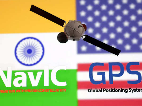
NavIC, or Navigation with Indian Constellation, is an independent regional navigation satellite system developed by the Indian Space Research Organisation (ISRO). It is designed to provide accurate real-time positioning and timing services to users in India and the surrounding region, up to 1,500 km (930 miles) from its boundaries.
NavIC consists of eight satellites, seven of which are in geostationary orbit and one in inclined geosynchronous orbit. This configuration allows NavIC to provide continuous coverage over the Indian subcontinent and the surrounding region.
How does NavIC work?
NavIC works in a similar way to other global navigation satellite systems (GNSS), such as GPS and GLONASS. NavIC satellites transmit signals that are received by receivers on the ground. The receiver then uses the signals to calculate its position, velocity, and time.
NavIC receivers use a technique called trilateration to calculate their position. Trilateration is a process of determining the location of a point by measuring its distance from three known points. In the case of NavIC, the three known points are the NavIC satellites.
To calculate its position, a NavIC receiver measures the time it takes for signals from the NavIC satellites to reach it. The receiver then uses this information to calculate its distance from each satellite. Once the receiver has calculated its distance from three satellites, it can use trilateration to calculate its position.
Benefits of NavIC
NavIC offers a number of benefits over other GNSS systems, including:
·Accuracy: NavIC provides more accurate positioning services than traditional GPS, especially in urban areas.
·Reliability: NavIC is less susceptible to interference from other signals, making it more reliable.
·Cost: NavIC is more affordable than other GNSS systems.
·Security: NavIC is a sovereign system, which means that India is not dependent on other countries for navigation services.
Applications of NavIC
NavIC has a wide range of potential applications, including:
·Navigation and mapping: NavIC can be used to provide navigation services for cars, trucks, buses, and other vehicles. It can also be used to create accurate maps and navigation apps.
·Disaster management: NavIC can be used to track and monitor the movement of natural disasters, such as cyclones and floods. It can also be used to coordinate relief efforts in the aftermath of a disaster.
·Agriculture: NavIC can be used to improve the efficiency and productivity of agricultural operations. For example, it can be used to guide tractors and other farm equipment.
·Transportation: NavIC can be used to improve the efficiency of transportation systems, such as railways and airways. It can also be used to provide traffic information and navigation services to travelers.
·Surveying and construction: NavIC can be used to provide accurate positioning services for surveying and construction projects.
The future of NavIC
ISRO is planning to expand the NavIC system by increasing its constellation size from 7 to 11 satellites. This will improve the accuracy and reliability of NavIC services.
ISRO is also working on developing new applications for NavIC. For example, ISRO is developing a NavIC-based time synchronization system that can be used to synchronize clocks across India.
NavIC is a rapidly developing system with a wide range of potential applications. It is expected to play an increasingly important role in the Indian economy and society in the years to come.
Here are some additional details about NavIC:
·NavIC uses the S-band and L-band frequencies for signal transmission.
·NavIC provides two levels of service: the Standard Positioning Service (SPS), which is available to all users, and the Restricted Service (RS), which is available to authorized users only.
·The SPS provides position accuracy of up to 5 meters (16 feet).
·The RS provides position accuracy of up to 1 meter (3 feet).
·NavIC is also capable of providing timing accuracy of up to 50 nanoseconds.
The inclusion of NavIC support in the iPhone 15 models is a sign of Apple's commitment to the Indian market. It will also help to promote the use of NavIC among other smartphone manufacturers.
There are a number of benefits to using NavIC. First, it provides more accurate positioning services than traditional GPS, especially in urban areas. Second, NavIC is less susceptible to interference from other signals. Third, NavIC is more affordable than other GPS systems.
The inclusion of NavIC support in the iPhone 15 models is a positive development for both Apple and India. It will help to improve the quality of navigation services for Indian users, and it will also promote the use of NavIC among other smartphone manufacturers.


Leave Your Comment